)
Entering your destination into a navigation app and getting directions in real time, looking up nearby places to eat, getting items delivered to your doorstep — these activities are now second nature to you. You do them mindlessly, without even thinking about it. But up until only 25 years ago, this technology was nowhere near as accurate as it is today.
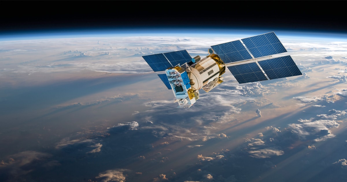
The Global Positioning System (GPS) is a satellite-based hyperbolic navigation system owned by the United States Space Force. Started by the U.S. Department of Defense in 1973, the project was aimed at bolstering military capabilities, such as enhancing the precision of missile guidance systems and troop movements. However, as the technology advanced, it became clear that it also had great potential for civilian use.
Initially, this civilian use was intentionally degraded and limited to an average accuracy of 100 meters to ensure national security. On May 1, 2000, then U.S. President Bill Clinton turned off this Selective Availability, making GPS more responsive to civil and commercial users worldwide. Now, non-military applications of GPS could be made incredibly accurate and pinpoint a location down to a few meters.
“President Bill Clinton
May 1, 2000
For companies like TomTom, this move was revolutionary. It allowed the company to make its navigation tools a lot more accurate than it had previously been able to.
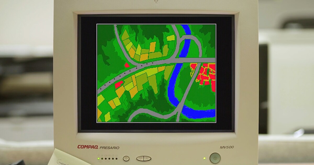
During the era of Selective Availability, TomTom had to find various workaround options to position people and vehicles on maps as accurately as possible. One of the most prominent techniques was known as dead reckoning, where the current position of a moving object was estimated using its previously known position, combined with estimates of speed, the direction it was heading and the time that had passed in between. It relied on multiple components such as wheel speed sensors, gyroscopes, compasses and more to get a precise location.
Once Selective Availability was retired, however, the sudden improvement in GPS accuracy allowed the company to make its maps more accurate than ever before. While the company previously focused on route planning, this development paved the way for technological applications that could offer much more efficient routes — such as turn-by-turn navigation, real-time traffic updates and highly accurate times of arrival — allowing the company to herald a new era of mobility with its maps and navigation tools.
What lies in the next 25
A lot has changed in the 25 years since then. What started as a military tool is now silently involved in just about everything we do — from finding the fastest way home to responding to disasters, tracking workouts, meeting new people and even growing crops. What was once cutting-edge is now woven into the fabric of how we move, connect and live.
But as this technology continues to evolve, TomTom’s drive to innovate and push forward the realms of location data and mapmaking remain constant. For the mapmaking company, interoperability and open data are where the journey is headed next.
With TomTom’s open, flexible mapping platform, GPS trace data becomes one of the many ‘super sources’ that allow TomTom to take map accuracy to an unprecedented level. TomTom Orbis Maps brings a wide variety of map data together, including observations from automotive OEMS, vehicles, connected sensors, partners and open-source projects, like OpenStreetMap (OSM) and the Overture Maps Foundation. GPS trace data and floating car data (GPS information collected from vehicles in motion — tracking their speed and location in real time) are a big piece of this puzzle. These sources, when combined, allow TomTom to be the custodian of highly fresh and detailed maps that are not just useful for navigation, but power a whole new world of location-based applications.
Maps made this way can inform strategic mobility, infrastructure and security decisions for the public sector, or allow automakers to further their automation and electric driving ambitions, making driving safer and more enjoyable for all. We're now at a similar moment to where we were 25 years ago. Location technology continues to “enhance the lives of people around the world”, like Clinton predicted it would, and we don’t yet know what more could be made possible with it. What we do know is that TomTom will continue to be at the forefront of innovation, constantly transforming how the world moves.
People also read
)
Making maps at scale with AI and machine learning
)
TomTom Orbis maps is on its way to be ‘World’s best map.’ Find out how
)
What's happening to the TomTom Car and where is it now?
)
Meet the devs that coded their way out of the coronavirus chip shortage
* Required field. By submitting your contact details to TomTom, you agree that we can contact you about marketing offers, newsletters, or to invite you to webinars and events. We could further personalize the content that you receive via cookies. You can unsubscribe at any time by the link included in our emails. Review our privacy policy. You can also browse our newsletter archive here.