Bring speed and real-world context to your innovations with TomTom’s suite of mapping, location data and intelligence solutions.
ALL PRODUCTS


ALL PRODUCTS

Labels, tokens, graphs and numbers are all part of embeddings that turn our maps into math or a language that AI understands

Shared vocabulary to interpret location data the same way, every time. It provides the co-relation between road, lane, place and traffic – so APIs, models and agents have a shared understanding

Our global, interoperable map combines our proprietary data with open data from the Overture Maps Foundation and OpenStreetMap, delivering accuracy and immersive experiences

Integrate immersive, rich, 3D lane-level maps with up-to-the-minute freshness

Access historical data on road speeds, travel times and traffic density

Analyze traffic volumes with accurate, scalable data in an instant

Industry-first tool for when, where and under what conditions AD can be activated

Bring our global, accurate and always fresh maps into your solutions through our Maps MCP connector

Build mapping experiences that make your app stand out

A photorealistic layer that captures the earth’s surface in vivid detail

Simplify data exchange and geospatial data management

Match GPS traces to the right sections of roads on the map. Improve the accuracy of analytics and machine learning with clean, snapped data positions

Enrich navigation apps with precise directions and powerful route planning
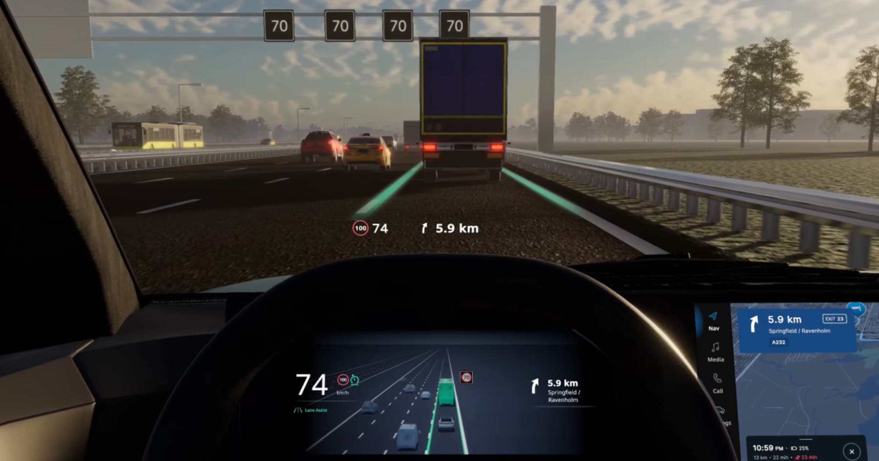
TomTom’s most advanced speed information service

Real-time alerts show what’s happening and how to avoid it

Complete, accurate charging station data with real-time availability

Take location to new levels with advanced search, geocoding and more

Real-time info reduces parking stress

Real-time info on fuel prices and stations
TomTom Traffic
TomTom Traffic is setting the standard in the traffic management industry. With our real-time traffic data and advanced road analytics, we empower you to make informed decisions. We offer a range of cutting-edge tools and services designed to optimize traffic management and enhance operational efficiency for businesses


Predict with accuracy and plan with precision by accessing our world-leading traffic through our MCP

Integrate traffic data to reduce time, emissions and stress on the road
Access historical data on road speeds, travel times and traffic density
Analyze traffic volumes with accurate, scalable data in an instant

Analyze trip patterns and drivers’ preferred routes

Track traffic on key routes and share live info with road users

Get traffic insights for custom areas and timeframes

Monitor and improve the performance of your traffic light network
Maps SDK for JavaScript
Add location services to your apps with customizable maps, advanced routing, and easy integration


Build navigation apps with optimized routing, accurate ETAs and real-time traffic

Enhance the in-vehicle experience with configurable, quick-to-integrate navigation

Know what lies ahead with up-to-the-minute ADAS map info

Ready-to-use reports and data visualizations from our traffic analytics tools

Create custom maps with our new visualization tool

Import TomTom or custom map styles directly into Figma

TomTom navigation on your phone

See the full range of TomTom GPS sat navs

Everything you need to optimize your in-car navigation

Chargers, cables, protections for your navigation devices

Need help or have questions? We are here to guide you
TomTom navigation on your phone
Ready to take the next step?


