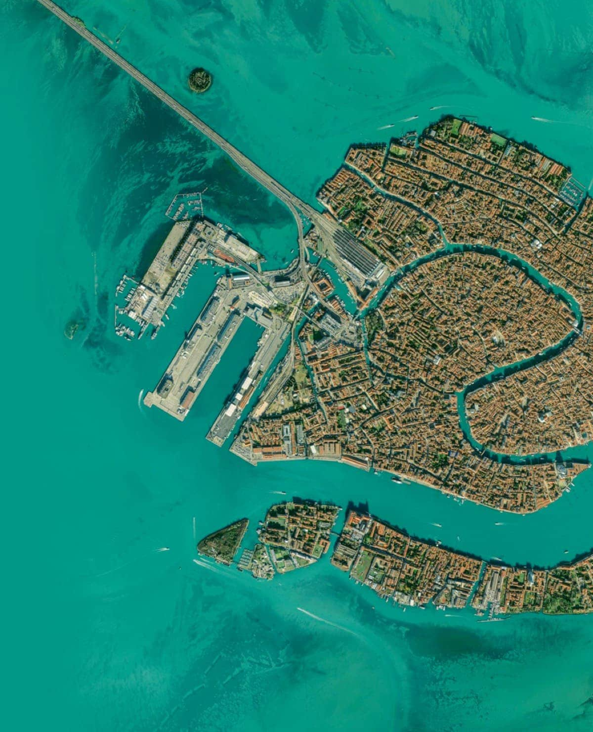
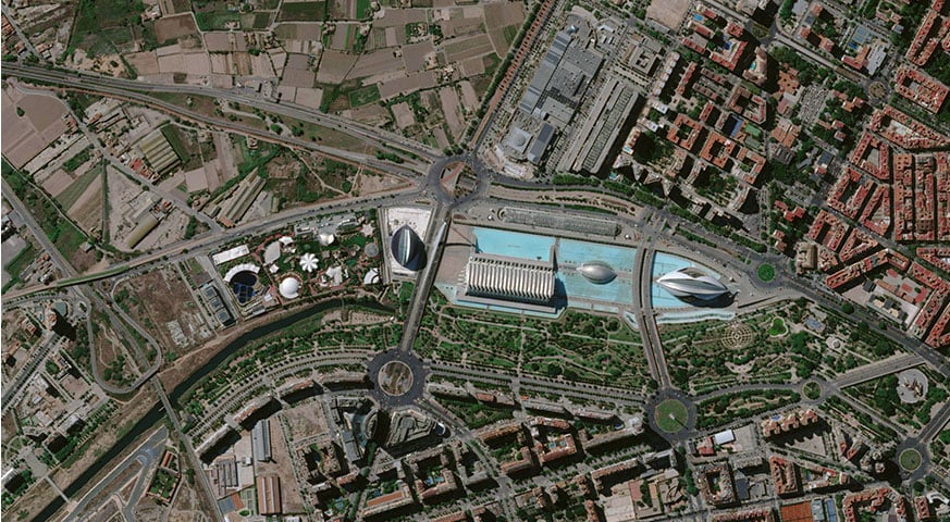
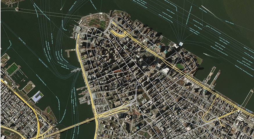
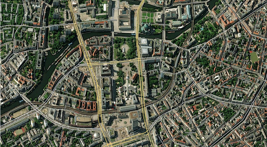
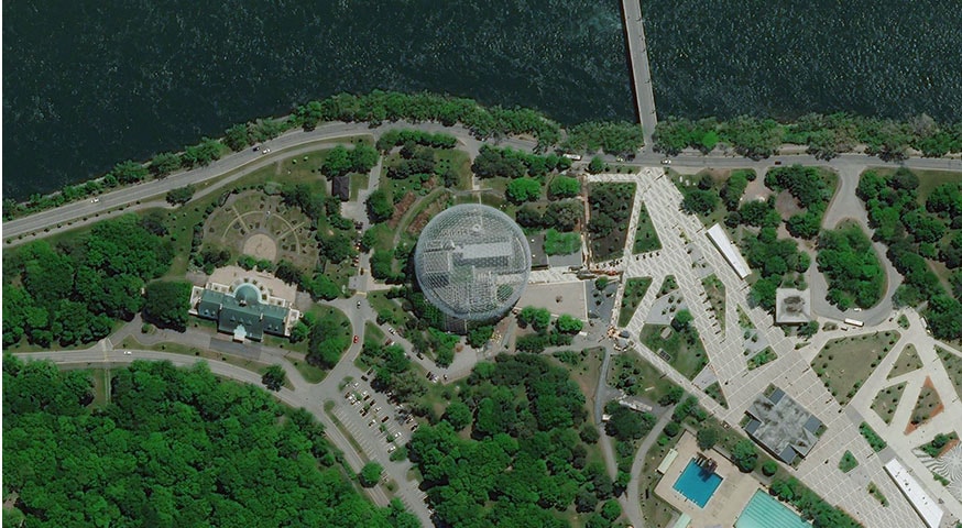

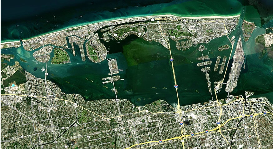
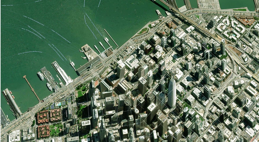
Map Display API – Satellite Tiles
The Map Display API lets you build a map with a level of detail best suited to your application. Use satellite tiles and the related map style to visualize the world in high resolution, with points of interest and road network overlay. This gives end users location context in great detail – all while enhancing the overall visual experience.