Empowering the City of Brantford to identify road network risks for safer streets
Success Story
Success Story

The fast-growing City of Brantford, Ontario, set a bold target in its Road Safety Plan 2021–2026: reduce the number of total road collisions on municipal roads by 10% by the end of 2026. The city called on SMATS, which used TomTom Traffic Stats to build a platform that assessed network-wide road risks to prioritize safer streets.
A central part of Brantford’s strategy involved Community Safety Zones (CSZs) — designated road segments with a history of speeding or elevated collisions. With five unique wards covering over 1,400 kilometers of roadway, the city needed a scalable, data-driven approach to identify potential CSZs and capture key metrics, such as 85th percentile speeds, speed violations and traffic volumes.
SMATS stepped in to close a critical data gap and build a robust platform for the city to view and compare road segments based on calculated risk scores.
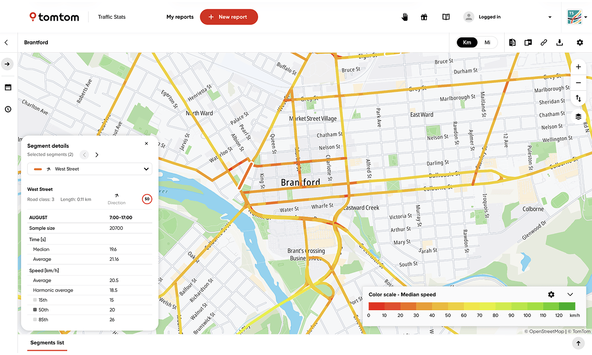
SMATS used TomTom’s Traffic Stats product to collect and analyze granular traffic data across the entire road network, including traffic speeds. SMATS’ AI-powered iNode platform also leveraged TomTom’s floating car data (anonymized GPS data from connected vehicles) to deliver networkwide traffic volume estimates — using custom models calibrated based on Brantford’s historical ground-truth traffic counts.
This data-rich solutions empowered Brantford to:
Access 85th percentile speed data across all road segments
Estimate annual average daily traffic (AADT) across all road segments
Integrate existing risk indicators like pedestrian crossings into a scoring framework
Calculate risk scores for all road segments
Rank network-wide risk levels
Visualize data and insights
Brantford turned a growing road safety challenge into a proactive solution. For the first time, the city can use network-wide data to objectively quantify risk and prioritize safety interventions. Key outcomes include:
A ranked safety score for all five wards
A list of the top 10 high-risk corridors per ward
A data-driven assessment and prioritization of CSZs
An interactive map highlighting safety scores across the full road network
The solution was delivered quickly and at scale, going from limited visibility to clear insights. Brantford is now better positioned to meet its 2026 safety targets, with a powerful platform to assess and monitor traffic patterns, evaluate safety measures and adjust strategies as conditions change.
Through this initiative, Brantford also rises as an example of how cities can overcome complex mobility challenges with advanced traffic intelligence — taking a proactive, data-informed approach to road safety and transportation planning.
“
Amir Ghods, President
SMATS Traffic Solutions