Building smooth routes for thousands of construction vehicles.
Customer story
Customer story

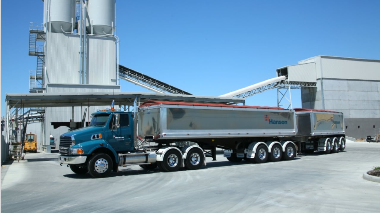
Timing is everything in the construction industry. To ensure that vital supplies reach customers on schedule, Hanson counts on TomTom map data.
If concrete is not readily available when it’s time to pour a foundation, your crew is hamstrung, your project gets delayed and your costs go up. That’s why accurate vehicle routing and tracking is a must for companies like Hanson – a leading provider of building and construction materials in Australia.
Routing a heavy, oversized construction vehicle is a very different experience from routing a car. There are many restrictions that need to be accounted for, including the fact that these trucks can only travel on certain roads due to their weight and can’t pass through every tunnel or bridge due to their height.
To meet these unique needs, Hanson developed a custom fleet management system more than two decades ago. Originally, the company used third-party street data to support its route calculations. As this data was only refreshed annually, Hanson did not always have the latest view of what was happening on the road, making it difficult to route vehicles as efficiently as possible.
As Hanson’s operations expanded, the need for fresh location information became increasingly urgent. With 1,500+ trucks to route and track all over the country, the company set out to find a more robust solution that could keep pace with constantly changing road conditions and help it guide drivers to their destinations safely and on time.
Through benchmark studies, Hanson determined that TomTom had the freshest, most accurate data for the Australian road network. TomTom also offered the most detailed data, essential for efficient geocoding and routing.
Hanson integrated TomTom location data with its fleet management system, using TomTom map data to underpin its proprietary road network fabric. This gives the company access to highly precise and constantly updated maps, which it can use to plan routes that take the latest road conditions into account.
In addition, Hanson makes use of a range of TomTom Maps features to support its fleet-specific geocoding and routing needs. With TomTom Address Points and Point of Interest (POI) data, Hanson can pinpoint street addresses to physical locations on the map for a faster, more precise way of locating addresses.
The company has also harnessed TomTom logistics datasets – specifically designed for operators of large commercial fleets – together with TomTom Speed Profiles to improve the accuracy of the travel time planning algorithm that lies at the heart of its fleet management system. With these enhancements, the company can plan routes that are optimized for heavy vehicles, calculate the best times for deliveries to leave and predict arrival times with greater accuracy.
Here’s a typical scenario: a customer calls in with an order and provides a delivery address. Hanson uses TomTom’s geocoding functionality to translate that address into precise latitude and longitude coordinates. It then plugs this information into its road network fabric, combining average travel times and historical traffic data to plan the fastest and most efficient route for that specific delivery.
By incorporating speed data into its travel time planning algorithm, Hanson can find the fastest routes for its vehicles and predict travel times more accurately. This has helped the company increase on-time arrivals, maximizing operational cost savings and improving customer satisfaction.
Similarly, fresh location data from TomTom has vastly improved the effectiveness of truck routing at Hanson, helping the company guide drivers on safe and efficient routes. With TomTom giving its routing capabilities a boost, Hanson can deliver the right products at the right time, so customers' projects are set for success.
“
Nola Mead
GIS Specialist, Hanson