)

Watch Aaron Golden, TomTom’s SVP Sales, explain how TomTom Orbis Maps is helping transform the public sector in our cities.

As governments and city authorities embrace map data, we are beginning to see cities find new life with gains in efficiency, sustainability and safety.
Are smart cities becoming a reality?
The public sector is one of the most important growth areas for digital maps. Governments and public sector bodies are fast adopting digital mapping and location technology to help them answer some of their most challenging questions.
Questions like: where are dangerous intersections? What are the speed limits around the city? How does speed affect traffic flow? And even bigger questions such as, how to support the proliferation of electric vehicles? And how to prepare the city for autonomous vehicles?
In all these cases, the map plays a central role in uncovering the answers, Golden explains. “These are all questions that we can help answer for municipalities around the world, and thanks to our map we can do it, frankly, better than anybody else.”
The confidence from Golden, like TomTom’s tech, is built on the foundation laid by the company’s new map, Orbis Maps.
“Our new map is really helping cities make better, smarter decisions… there hasn’t been a conversation where a customer hasn’t been excited about our strategy or fully supportive of what we’re doing,” he adds.
 With TomTom Orbis Maps, cities get a unique insight into how their cities move and operate.“We help cities in a number of different ways, not only by providing them with great traffic data, historical data, but also helping with analysis for future infrastructure challenges, and identifying the most basic things, like where the stop signs are in a city, where safe places to pull over might be.”Cities are making huge investments into infrastructure and development, and at the center of that is the map. “Understanding where everything is, where buildings are, where roads sit, where stop signs are is crucial, and amazingly a lot of cities don’t actually have this kind of data on their own cities,” Golden explains.Indeed, TomTom’s new map is playing a vital role.Historically, those that build with map data have had to take data from multiple sources, have their engineering team fuse those sources together, and if they’re using open data, cleanse that data and ensure it’s fit for purpose, and then apply that to their specific solution.Orbis Maps, however, provides a map and platform ready for businesses to build on, as it already combines the best of proprietary and open data, in a standardized and familiar structure. The open data it uses is checked and validated for errors or vandalism, and the map is provided in a range of formats from raw uncompiled data to easy-to-use APIs, making it supremely flexible for however the customer wants to use it.“We can supply and help a whole lot more customers, with a whole lot more use cases than we could previously. And it [Orbis Maps] allows our customers to take advantage of billions of edits within the data every year, and it’s ultimately what allows us to supply a more accurate map to the world,” Golden adds.
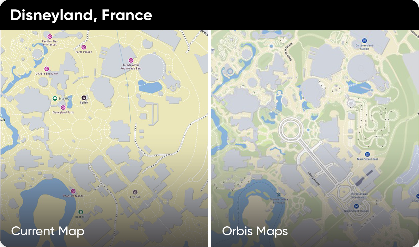 The blend of open and proprietary data leads to a much more detailed and richer map.
Digital maps and the public sector
Indeed, for public sector and governmental organizations having an accurate map is crucial for everything from waste management to traffic management, to the future of mobility.
Take the transition to electric vehicles for instance. It’s not simply a case of knowing where to put EV chargers, but cities have to consider how to supply electricity to them, where the power lines are, if they need to be replaced or upgraded and what impact that will have on traffic if roads need to be dug up.
It’s also common for EV chargers to have data connections, so what about those? will they be wired or wireless? If they’re wireless, will they be 5G, will they have a good enough signal, where should signal boosters be placed if they’re needed? Cities need answers.
Cities are making huge investments into these kinds of projects, and when it’s public money on the line making every cent count couldn’t be more important. According to consulting firm ICF, installing Level 2 EV chargers can cost anywhere between $2,700 and $24,000, direct current fast chargers can cost between $70,000 and $137,000.
As a city, making sure that you’re installing the right kind of charger, in the right place, once is an important financial decision. Scale that up across potentially thousands of chargers and you’ve got an incredibly high-risk problem to solve.
 Broken EV chargers or EV chargers in the wrong place are not much use.
The map is vital to reduce the risk and help make those decisions. “We can help with the analysis that enables cities to understand how their traffic flow and patterns change when they are making investment into rebuilding infrastructure, such as improving the electrification of their city, or even replacing pipes that have been around for 100 years,” Golden says.
Less glamorous tasks like waste management are also a very important for cities to manage and optimize. They must figure out how best to clean their city, and that involves knowing where pick up spots are, where trash cans are, what road restrictions are and what traffic patterns are. Knowing these things can help municipalities understand the impact that waste collection has on traffic, how long it will take and how to do it most efficiently with the lowest impact on city residents. None of this can be done without a map.
A route toward the future
The concept of the Smart City has been around for well over a decade, but what we’re seeing now is the result of many technologies coming together to help make Smart Cities a reality.
Technologies like maps, real time traffic data, location technology and big data analytics and artificial intelligence are allowing cities to evolve from their regular, unoptimized states into more efficient, smarter operations. With digital maps, everything from traffic signals to waste management can be improved for the benefit of citizens.
People also read
)
White paper: What's it going to take to level-up living and build Smart Cities?
)
California vetoes ISA legislation, ‘delaying it for years’
)
Open, flexible, built for business: What makes TomTom Orbis Maps so alluring for location tech
)
Celebrating 20 years of OpenStreetMap: A testament to community and collaboration
* Required field. By submitting your contact details to TomTom, you agree that we can contact you about marketing offers, newsletters, or to invite you to webinars and events. We could further personalize the content that you receive via cookies. You can unsubscribe at any time by the link included in our emails. Review our privacy policy. You can also browse our newsletter archive here.