TomTom supports defense and government geospatial workflows by providing continuously updated, globally consistent, exclusive location intelligence data. Built to support C4ISR and GEOINT Systems, TomTom’s location intelligence is the foundational geospatial layer for human-machine teaming.
1.5B
monthly map updates for a continuously fresh map
220M
Points of Interests
5-6B
of kms driving data added each day on average
Solutions
The map behind the mission
Each strategy is only as strong as the geospatial intelligence it’s built on. Powered by Orbis Maps, TomTom’s defense tech is designed to deliver precise situational awareness in real time.
Military mobility
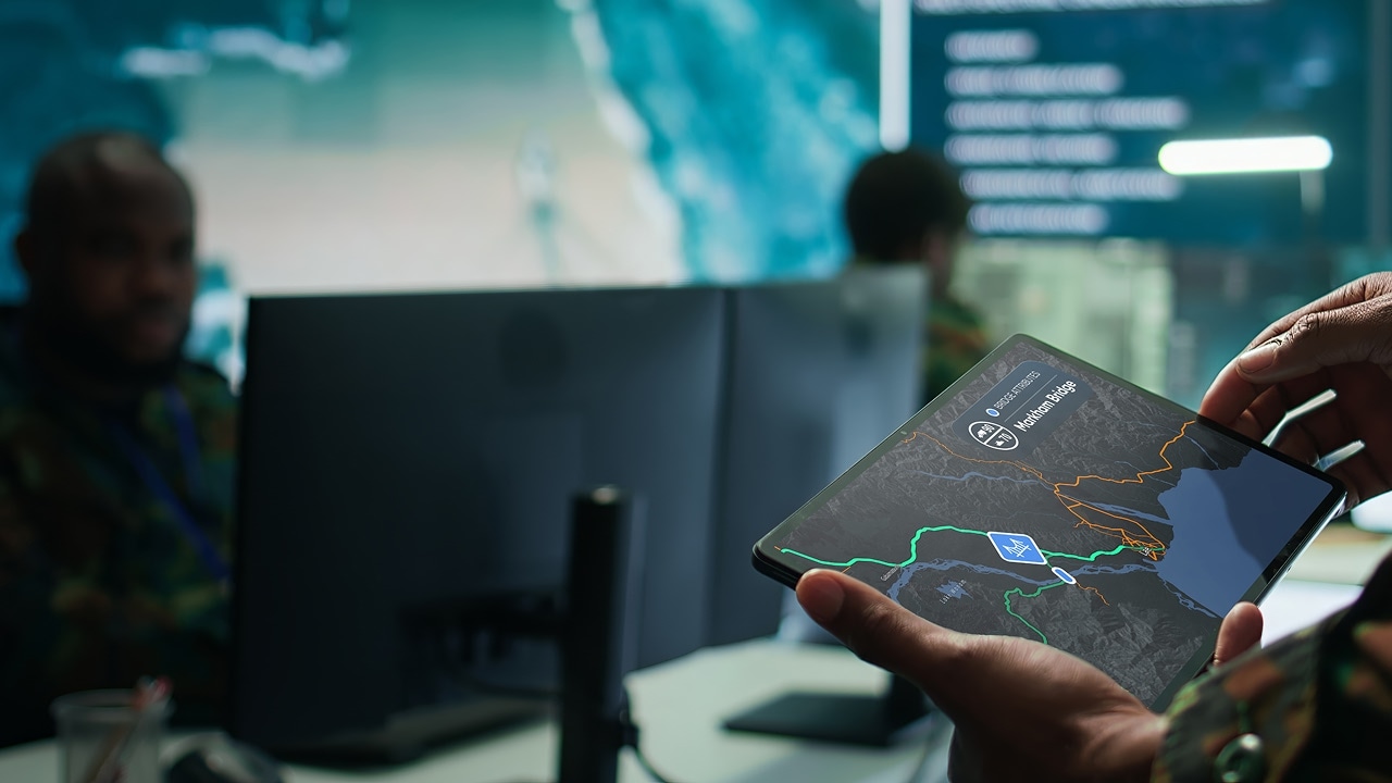
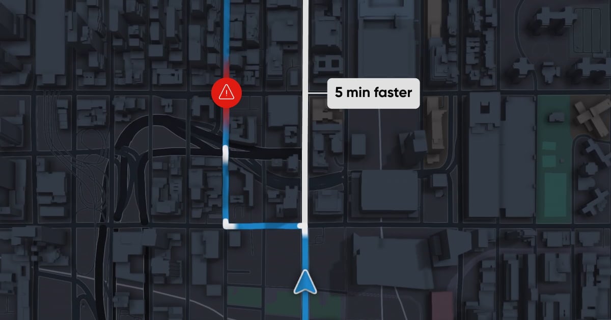
Optimize movement speed and protect assets with world-leading road intelligence. Featuring tunnel heights, bridge load limits and maneuver constraints, TomTom’s dual-use map data provides crucial insights for route planning, convoy coordination and coalition mobility corridors — while real-time traffic reveals emerging bottlenecks and disruptions.

Mission planning
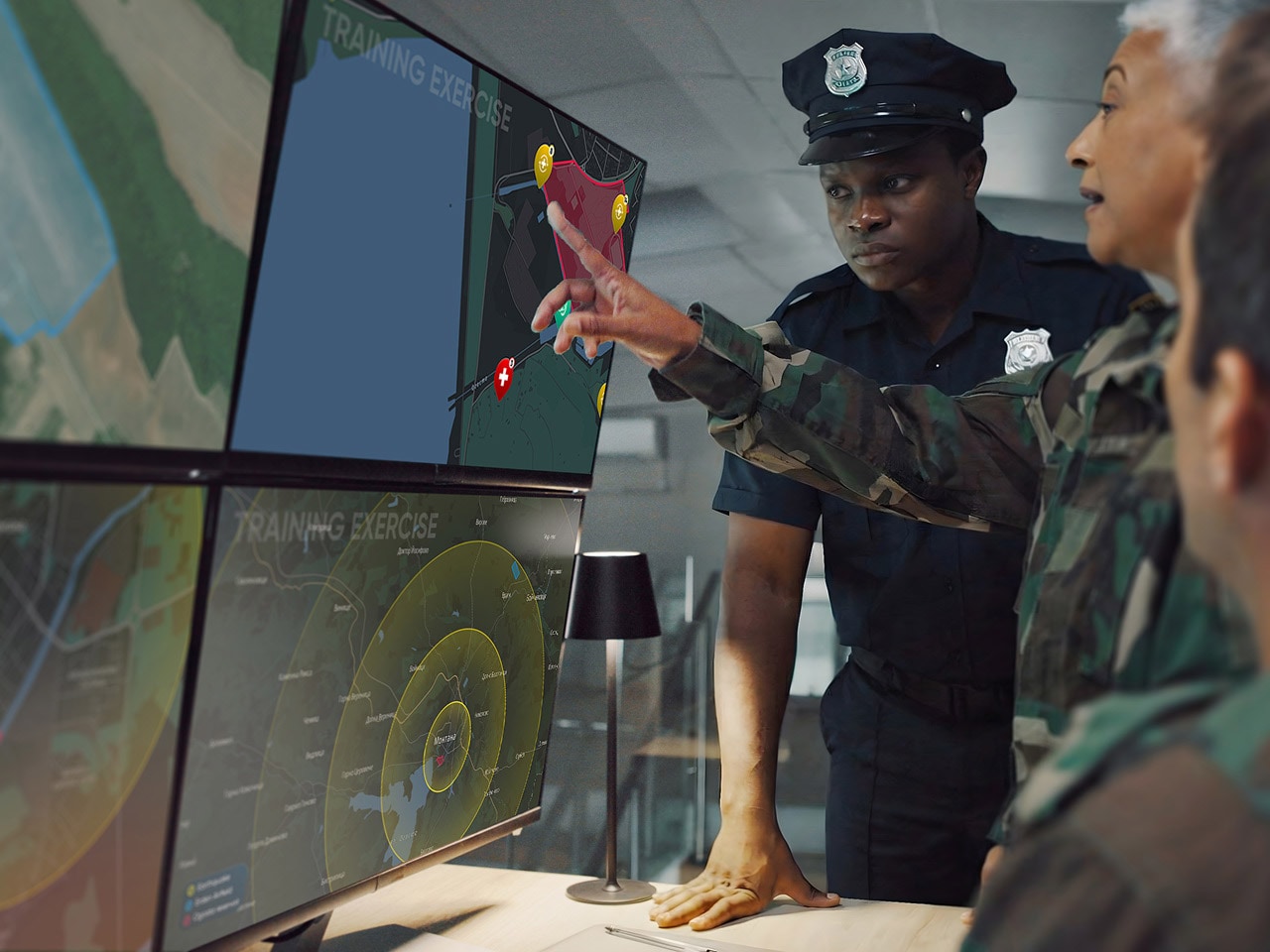
Get the full picture with TomTom’s reference basemaps. Integrating seamlessly into existing C4ISR and GEOINT systems, our high-fidelity map data provides crucial insights on terrain, infrastructure and mobility constraints — the deciding factors in precise planning, route validation and resilient logistics.

Civil-military coordination
TomTom facilitates military and civilian coordination via seamless, secure data interoperability. Should crises, conflicts or major emergencies arise, civilian datasets integrate seamlessly into our map layers — expediting the identification of shelter zones, urban mobility and hazard areas to support civil protection, humanitarian operations and public safety.

Emergency response and evacuation
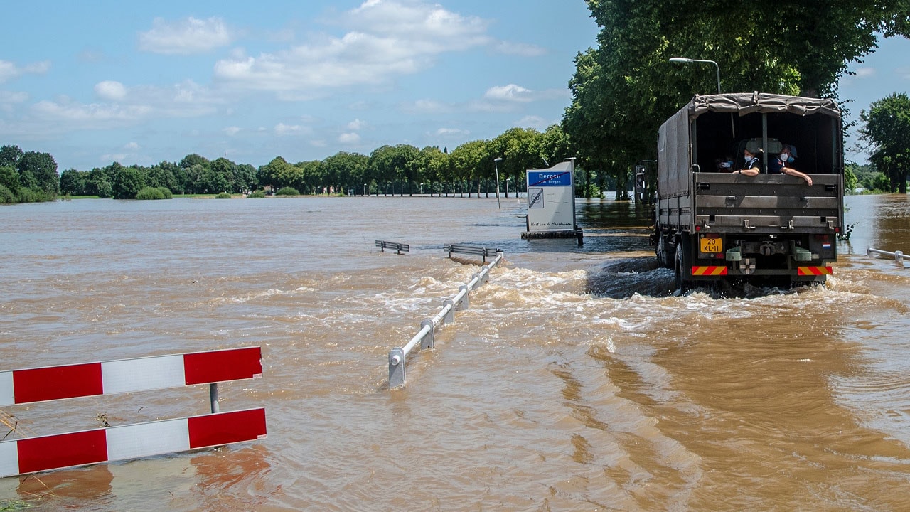
In the aftermath of disasters or conflict, response timeliness is critical. TomTom’s geospatial intelligence allows authorities to establish routing options, coordinate evacuation, and assess hazards and infrastructure degradation. AI validation ensures up-to-the-minute accuracy at a global scale, supporting proactive, adaptive planning in unstable environments.


Recognized as awardable by the U.S. Department of War
TomTom’s defense solutions have been granted Awardable status — a symbol of excellence and trust — by the Tradewinds Solutions Marketplace.
A unified source of geospatial intelligence
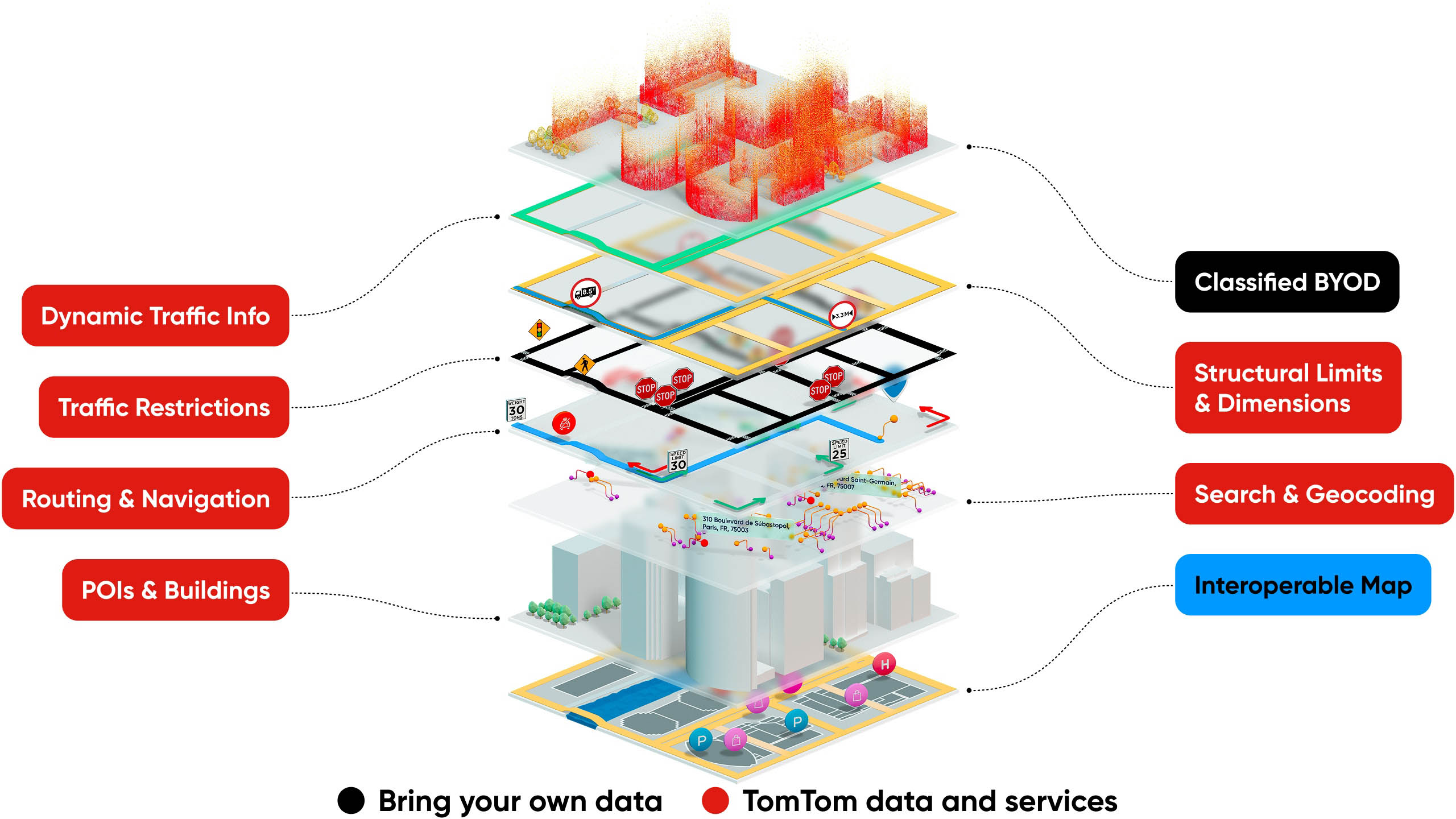
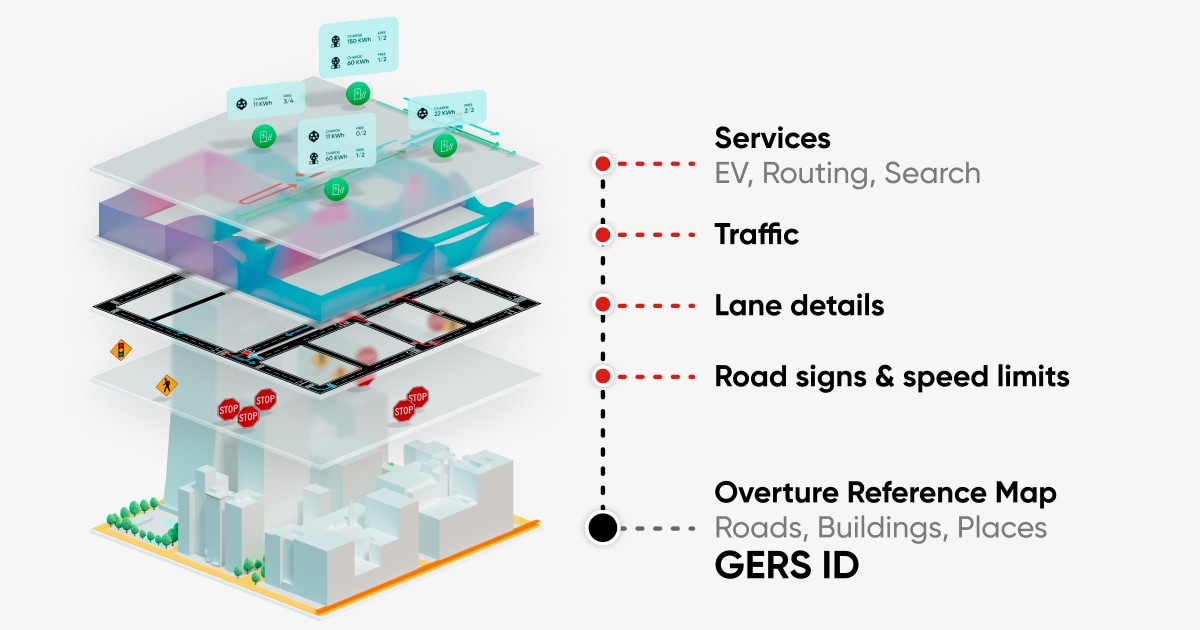
Global, interoperable base reference map that allows for the addition of classified data layers. Built on a standard map format for easy integration of data sets.

Related resources
Learn more about our Defense and Government solutions