Providing one unified data source for Dutch municipalities
Success Story


Success Story

Understanding how traffic flows through a city is hard. Especially when there are limits to what is accessible and visible within the network.
Nationaal Dataportaal Wegverkeer (NDW), knows this issue well, as its an organization responsible for collecting, managing and sharing traffic data with Dutch municipalities. Traditional methods such as automatic numberplate recognition (ANPR) cameras and traffic counting only provide insights at specific traffic points at specific moments in time. To understand broader traffic patterns and identify bottlenecks, multiple studies and counting methods need to be conducted, which costs both time and resources.

To support government bodies and provide them with clear and comprehensive visibility, NDW needs a trusted traffic data source that spans across the whole road network.
Hastig, a decade-long partner of TomTom, provides NDW with this valuable information - a step towards helping municipalities change the way they see, think and use traffic data. With the use of TomTom data, Hastig provides a central source of traffic information running across the entire Dutch road network.
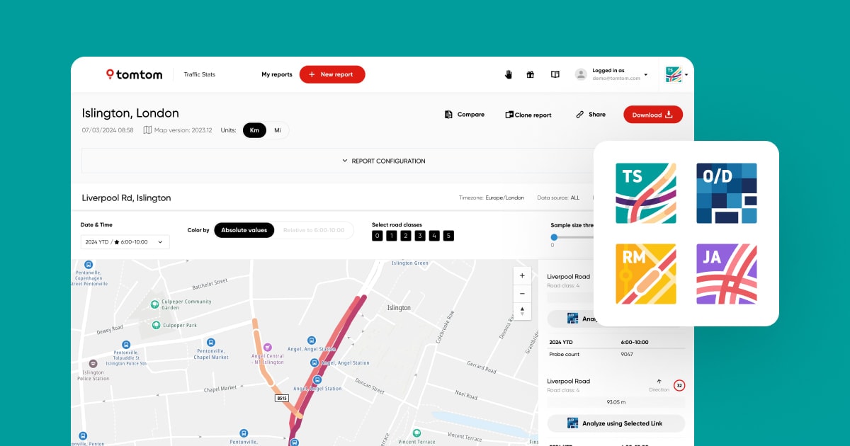
Analyzing data through the TomTom MOVE portal, Hastig uncovers accurate, actionable insights. The company also uses TomTom’s APIs to build their own applications tools. TomTom’s Junction Analytics supplies their Intersection Traffic tool with traffic flows on junctions. Historic traffic data fuels Hastig’s Traffic Trends about the volume and speed of traffic on the entire road network. With this granular level of detail, municipalities can deliver timely and evidence-based outcomes on congestion and peak-season traffic.

This is a move towards municipalities making data-driven decisions to fix problems on the road network. Hastig is a major catalyst behind this initiative, turning TomTom data into easily interpretable insights, allowing municipalities unlock new ways to improve mobility and build smarter, safer cities.
“
Richard van de Werken
Co-founder, Hastig