Clearer road mobility with accurate location data
Success Story


Success Story
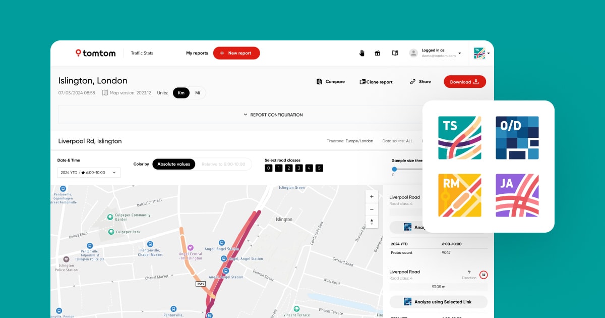
When traditional methods only provide a limited view of the road network, you need a database that creates a holistic view of how the entire network moves.
Using TomTom’s real-time and historical traffic data, citiEU builds transportation models that solve mobility challenges for highway authorities, municipalities and public agencies. While traditional methods such as traffic counting, roadside sensors and induction loops can provide deep insight into specific parts of the road network, these findings remain limited in coverage. By using TomTom’s high-quality traffic data, citiEU is able to build precise transportation models reflecting traffic flows and vehicle mobility with granular detail of much larger areas, while also taking much less time.
Addressing complex urban mobility needs
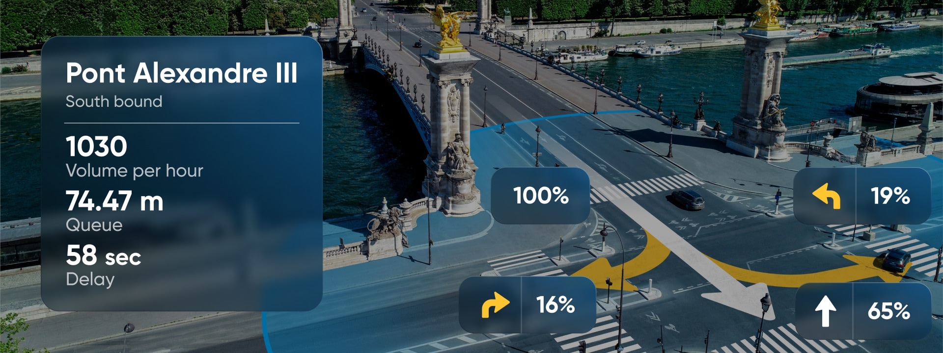
City planners and organizations have to make important decisions when it comes to urban planning whether that’s solving bottlenecks, managing event traffic flows or preparing for emergencies. citiEU’s models help identify challenges in road networks, test solutions through real-world simulations and avoid costly infrastructural decisions. Armed with TomTom tools like Junction Analytics, microsimulation models can build test solutions based on actual traffic behavior at an intersection before applying them to the road.
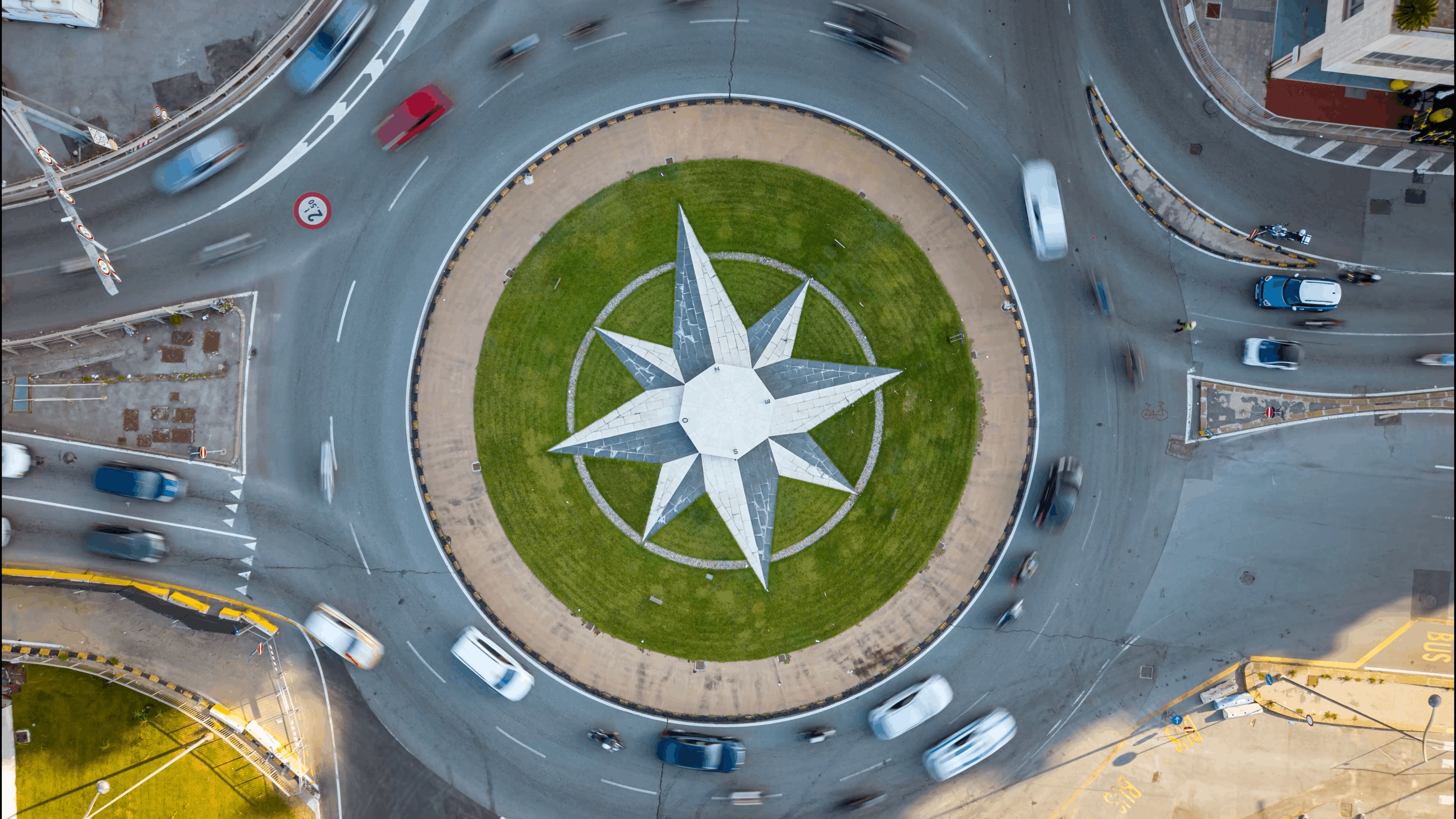
For emergency services and event planners, this means responding to emergencies faster. TomTom’s historical data also brings a deeper level of insights to these challenges, reaching beyond current road conditions and into the past. While planning events, cities can now look back at traffic behavior during similar situations and prepare for future challenges.
In 2020, a flash flood severely impacted Palermo's main arterial road, bringing traffic to a halt. After the flood, citiEU collaborated with the University of Palermo and the University of the Aegean to analyze the impact of the flood and develop emergency plans for similar events that impact road accessibility. Using TomTom Traffic Stats, they analyzed real-time traffic data during the flood events, focusing on median speeds and the availability of infrastructure. TomTom data helped them identify roads with no traffic flow, which signaled that those passages were damaged by the flood. Armed with this insight, the company built an emergency plan, aiming to improve future emergency response and road network resilience in the region.
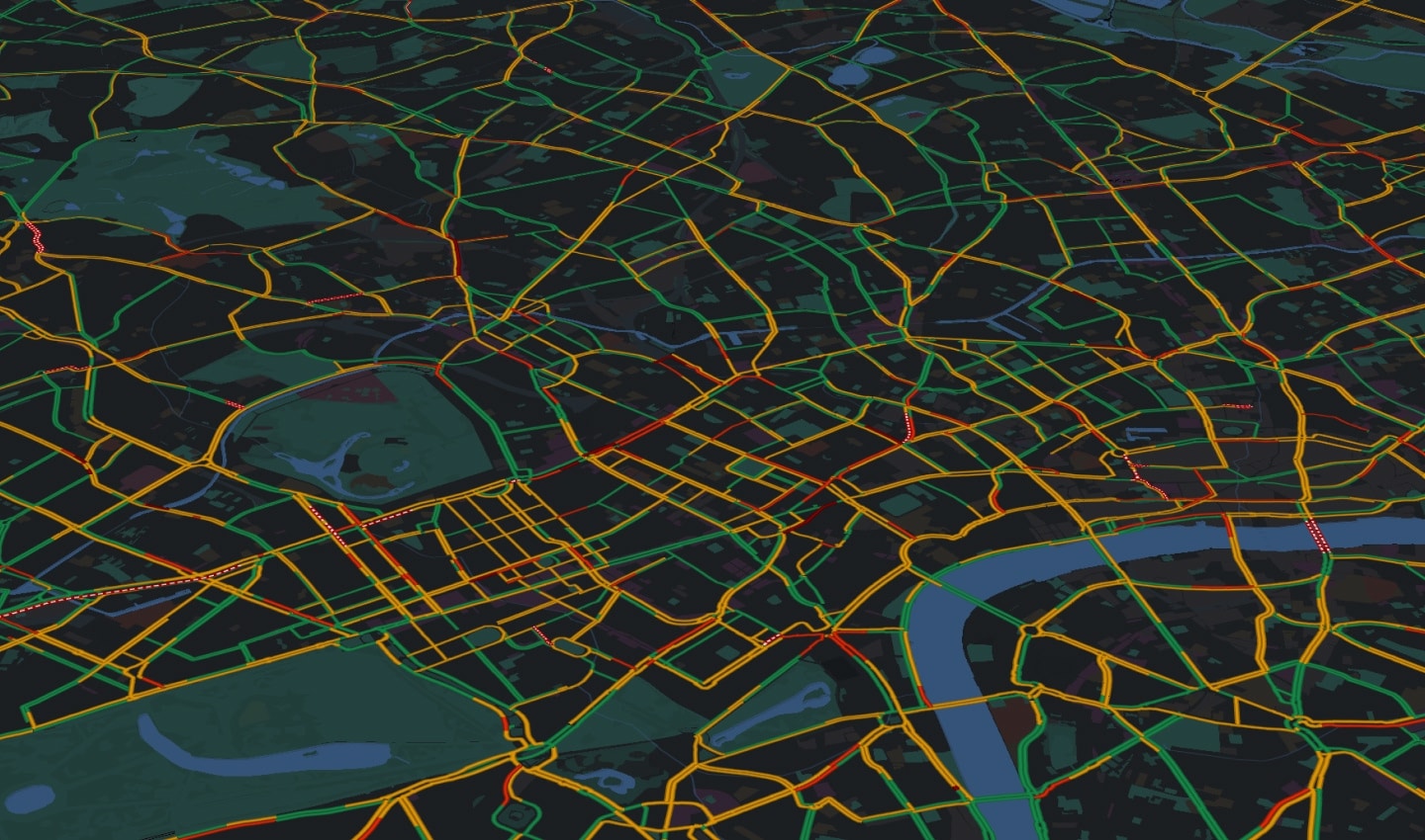
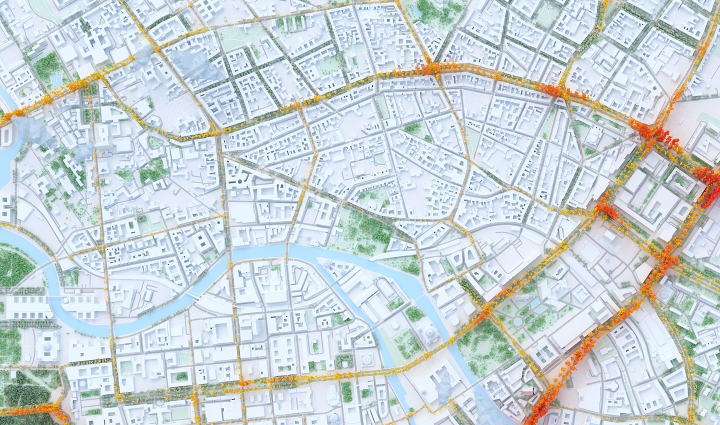
Based on a reliable data foundation, citiEU’s models enable infrastructure planning, mobility policy-making and urban development decisions based on measurable traffic patterns. This empowers cities to make informed decisions, keep traffic flowing and plan for the future of mobility with confidence.
“
Luigi Sanfilippo
Head of Sales, citiEU