How TomTom and its partners help road authorities solve traffic challenges
&w=256&q=90)

As more vehicles hit the streets and road networks become more complex, road authorities face a real challenge in keeping it all moving efficiently. We explore how floating car data has evolved into a vital tool for planning and operations, and how organizations worldwide are using TomTom partner solutions to make our streets smarter and safer.
Government transportation authorities are typically comprised of two main departments: planning and operations. Planning departments develop models to chart the future needs of the road infrastructure. Operations departments are where you find Traffic Management Centers. These centers monitor traffic conditions in real time, informing and helping to ensure the safety of the traveling public.
The challenges faced by transportation planners and operations managers
Traffic specialists in the road authority planning department perform bottleneck analysis, impact assessments and calibrate traffic models with the ground truth. Their analyses and models are used in long-term forecasting to determine where traffic flows can be improved, and where the highway and road infrastructure should be upgraded. These tasks demand ready access to comprehensive historical traffic information.
Previously, one way of collecting this information entailed driving the road network, conducting field surveys – an approach with more than a few limitations. Road surveys are costly, static, manually intensive, and typically only performed once a year. Therefore, this survey method lacks scale, is a snapshot in time, and lacks incident detection.
Another data collection method entails hardware installation of inductive loops and cameras. These are costly and disruptive to install and maintain, leading to temporary road closures. Weather conditions can hamper the reliability of these sensors. This method also suffers from an inability to scale, since you’re unlikely to have hardware installed on every road in your network.
More recently, some agencies have started using Bluetooth sensors to detect vehicle movement. Here, the system only knows what is going on after a vehicle has passed the second detection point. The data collected in this way is, in most countries, limited to highway locations and major secondary routes.
The road authority operations team is responsible for keeping transportation moving as efficiently and safely as possible. A Traffic Management Center (TMC) provides a bird’s-eye view of the road network, identifying traffic jams, suggesting alternative routes, and supporting the re-routing of traffic during incidents. These tasks demand ready access to real-time traffic information.
Some data collection methods used in planning are also used by TMCs. They include hardware such as inductive loops, cameras and Bluetooth detectors. Each technology is limited in its ability to scale, can be disruptive during installation/maintenance, and is subject to varying weather conditions.
Leading a revolution in Traffic Information Services
When GPS was released for commercial use in 1995, it allowed commercial organizations to develop software and applications for navigation. This proved to be a major push for innovation in the field of data collection and related services, spurring the introduction of new commercial navigation devices, first unconnected (offering static maps only) and later connected (receiving and sending real-time information from a server).
At the same time, the rapid development of the smartphone, which was progressively enhanced with GPS, enabled even more navigation innovation. GPS information could now be collected from vehicles in motion – tracking their speed and location in real time. Known as Floating Car Data (FCD), this new kind of information helped revolutionize traffic management.
TomTom and its partners harness the power of floating car data
By collecting FCD, Traffic Information Service providers such as TomTom create an archive with actual driven trips for analysis purposes. As road operators are responsible for informing car drivers, they are keen on the stability of travel times as set on their road network. By using the aggregated statistics provided by Traffic Information Service providers, it is possible to perform reliability studies for any location in the road network.
TomTom’s archive of FCD includes over 10 years’ worth of travel times and average speeds on many road segments. This probe data offers wide network coverage and a 24-hour view of road conditions. Using FCD in modeling, the data can be manipulated to exclude days with unusual weather events and holidays or known unusual traffic days. The data is usually grouped based on the time of day and day of the week to give expected metrics for free-flowing traffic in contrast to congested traffic flow. As a minimum, the metrics calculated include 95th Percentile Travel Time, Buffer Time Index, Planning Time Index, Average Speed and Median Travel Time.
FCD is also used by TomTom and its partners to make highly granular live traffic data, including live speeds, live incidents, and travel time distance plots, available to TMCs across the world. This enables operators (i.e. traffic managers) to monitor the traffic situation in real time on their network with a high level of detail and pro-actively manage traffic incidents.
Real-world examples where TomTom/partner solutions are making a positive difference
Dozens of planners and operations managers, when faced with the challenge of finding robust, reliable, cost-effective traffic data, have turned to TomTom and its partner network. TomTom is teaming up with local partners in order to deliver the best data in combination with the best local knowledge. With this combination they deliver relevant data for each use case to different cities. TomTom works together with local and global partners including 5T Srl (City of Turin), Brussels Mobility, Geo Mobility, Hastig, and Province Fryslân to improve traffic management with FCD. Following are some first-hand experiences from road authorities since adopting TomTom partner solutions.
5T Srl
Francesca Marinetto is the Communication and PR Manager at 5T Srl. Here’s his synopsis of 5T Srl’s use of TomTom data. “After a period of testing, 5T Srl – the in-house company of the Municipality of Turin that manages the Mobility Centre of Turin – is actively collaborating with TomTom to get the most out of the TomTom MOVE platform. We are also working with TomTom Traffic Stats APIs, in order to automate the reception of traffic data and to integrate it appropriately into the Mobility Centre’s monitoring system. The MOVE platform data are also particularly useful for all the data analysis and DSS (Decision Support System) activities that 5T Srl is carrying out for the Municipality of Turin, with the aim of analysing and monitoring urban mobility trends over time, especially during this pandemic period.”
Brussels Mobility, through TomTom partner Geo Mobility
According to Brecht Debusschere from Brussels Mobility, “From ODIQ and TomTom we gain insight into historical traffic data prior to 2020. This means we can also analyze years before the COVID-crisis. Brussels Mobility is using TomTom data to do representative origin-destination analyses, among many other traffic analyses.”
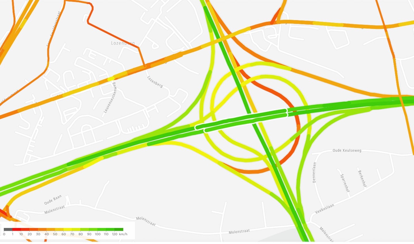 Historical speed analysis in Brussels
“Richard van de Werken
Hastig
Province Fryslân through TomTom partner Hastig
One of Hastig’s clients, the Province of Fryslân, requested speed and traffic volume data to fill their traffic safety model. Fryslân combined the TomTom data with other usage information pertaining to their road network.
Sipke van der Meulen with the Regional Traffic Safety Board at Province Fryslân noted, “In Province Fryslân we work on innovative solutions to make our roads safer and our road users smarter. With the use of TomTom data, we now have the opportunity to get detailed information about how our roads are used and how people are traveling within and through our province. We also use this information to optimize public transport. We love data digging!”
Conclusion
TomTom and its partners are on a mission to fight traffic congestion and improve mobility across the world. We believe that good location and traffic data, based on FCD, enable smarter decision making for cities, road authorities, governments and mobility professionals.
Learn more about TomTom and Traffic
To learn more, visit TomTom's traffic management use-case page, or contact us.
People also read
)
How Simacan manages transport efficiently using TomTom data
)
How Hanson delivers for the construction industry using TomTom location data
)
Transforming the fleet and logistics industry with Omnitracs and TomTom
* Required field. By submitting your contact details to TomTom, you agree that we can contact you about marketing offers, newsletters, or to invite you to webinars and events. We could further personalize the content that you receive via cookies. You can unsubscribe at any time by the link included in our emails. Review our privacy policy.